
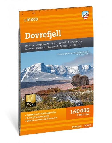
Dovrefjell 1:50.000
€27.70
In stock
Only %1 left
SKU
P-DOVR-510D9D

This map presents Norway’s wilderness-like Dovrefjell high-mountain area and well-known hiking destinations. The description notes that it is intended for year-round use, with marked hiking and winter routes as well as groomed ski trails.
Suitable for: For hikers and visitors exploring the Dovrefjell area.
With map views on both the front and back, this map covers the entire wilderness-characterized high mountain area of Dovrefjell and classic hiking destinations such as Vangshaugen, Snoheim and the country's highest mountain outside Jotunheimen, Snohetta (2286 m).
This is part of the modern Calazo map series, which has a unique wealth of detail, as they are based on new data obtained from aerial laser scanning. The map covers all the most popular mountain areas, and has included both cabins run both by DNT and by other actors. It also shows marked hiking routes in the area, and is intended for year-round use with marked winter routes and groomed ski runs entered.
This is part of the modern Calazo map series, which has a unique wealth of detail, as they are based on new data obtained from aerial laser scanning. The map covers all the most popular mountain areas, and has included both cabins run both by DNT and by other actors. It also shows marked hiking routes in the area, and is intended for year-round use with marked winter routes and groomed ski runs entered.
* The description may refer to a different version of the product. Details mentioned in the description, such as accessories, may not be part of the product you have selected. For detailed information about the product you have selected, please refer to the feature list below.
| Categories | |
|---|---|
| Title | Dovrefjell 1:50.000 |
| SKU | P-DOVR-510D9D |