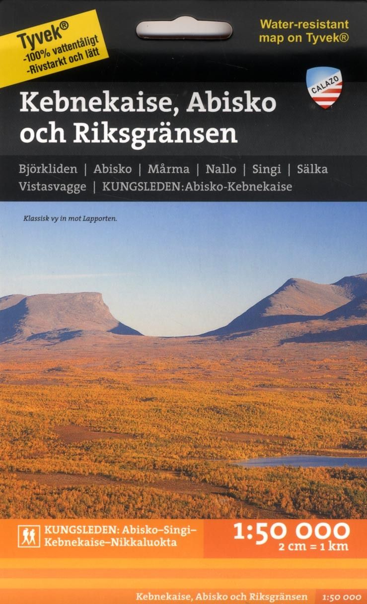
Kebnekaise, Abisko och Riksgränsen 1:50 000
€19.90
In stock
Only %1 left
SKU
P-KEBN-4C00A5

Discover the most detailed map for hiking and navigating the Kebnekaise and Kungsleden region in Northern Sweden. The 1:50 000 scale ensures precision in every contour and path.
Suitable for: For hiking, trekking, or outdoor navigation enthusiasts.
Det här är den mest detaljrika kartan någonsin över Kungsleden och området kring Kebnekaise, Abisko och Riksgränsen. I våra fjällkartor i skala 1:50.000 är preparerade skidspår tydligt markerade, vattendrag och sjöar är betydligt mer detaljerade, höjdkurva visar terrängen mer likt verklighetens komplexitet, blockterräng finns utmarkerad, symboler visar t ex service vid respektive stugplats (proviantförsäljning, bastu mm). I just denna karta är Kungsleden tydligt markerad med avståndet mellan stugorna angivet.
* The description may refer to a different version of the product. Details mentioned in the description, such as accessories, may not be part of the product you have selected. For detailed information about the product you have selected, please refer to the feature list below.
| Categories | |
|---|---|
| Title | Kebnekaise, Abisko och Riksgränsen 1:50 000 |
| SKU | P-KEBN-4C00A5 |