
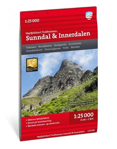
Trollheimen: Sunndal / Innerdalen - Hoyfjellskart ( 1:25 000 )
€29.20
In stock
Only %1 left
SKU
P-TROL-3581E3

This map of Sunndal and Innerdalen in Trollheimen supports trip planning in Norway’s high mountain terrain. It is suited to both marked-trail hikes and exploring routes of your own.
Suitable for: For hikers and people planning their own routes in mountain terrain.
This is one of two unique maps with a wealth of detail that has never before been shown over the area around Trollheimen The terrain information in the map is based on laser scanning from aircraft. Mountain slopes, waterways, glaciers and other natural elements are shown in much more detail with this technology. The map also contains more trails than any previous map of the same area.
A map on a scale of 1:25,000 is useful if you are planning a hike in Innerdalen or a summit trip to the classic Innerdalstarnet (1452 m), Dronningkrona (1816 m) or Store Trolla (1842 m). The map can also be used by those who wish to leave marked paths to explore their own routes in the high mountains.
A map on a scale of 1:25,000 is useful if you are planning a hike in Innerdalen or a summit trip to the classic Innerdalstarnet (1452 m), Dronningkrona (1816 m) or Store Trolla (1842 m). The map can also be used by those who wish to leave marked paths to explore their own routes in the high mountains.
* The description may refer to a different version of the product. Details mentioned in the description, such as accessories, may not be part of the product you have selected. For detailed information about the product you have selected, please refer to the feature list below.
| Categories | |
|---|---|
| Title | Trollheimen: Sunndal / Innerdalen - Hoyfjellskart ( 1:25 000 ) |
| SKU | P-TROL-3581E3 |