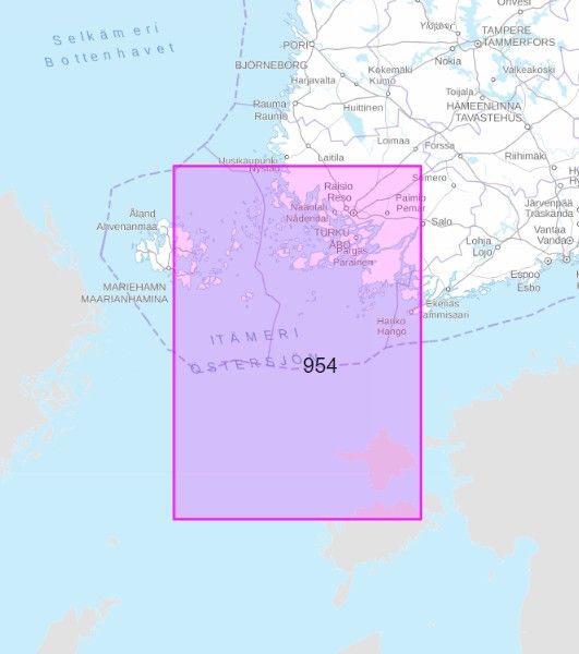
Yleiskartta 954 Pohjois-Itämeren itäosa 1:250 000
€29.10
In stock
Only %1 left
SKU
P-YLEI-0814B9

Yleiskartta 954 Pohjois-Itämeren itäosa 1:250 000 provides a clear and precise sea chart for offshore sailing and route planning in the Baltic Sea.
Suitable for: Ideal for boaters, sailors, and those navigating the Baltic Sea region.
Liikenneviraston merialueiden yleiskartat sekä Saimaan vesistön yleiskartta ovat tarkoitettu avomeripurjehdukseen ja reittisuunnitteluun. Karttojen mittakaava vaihtelee alueellisesti välillä 1:100 000 - 1: 500 000. Karttojen ulkoasu on suora.
* The description may refer to a different version of the product. Details mentioned in the description, such as accessories, may not be part of the product you have selected. For detailed information about the product you have selected, please refer to the feature list below.
| Categories | |
|---|---|
| Title | Yleiskartta 954 Pohjois-Itämeren itäosa 1:250 000 |
| SKU | P-YLEI-0814B9 |
| Keywords | Merikartta, Itämeri, Turku, Hiidenmaa, Parainen, Ahvenanmaa |