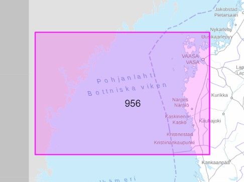
Yleiskartta 956 Pohjoinen Selkämeri 1:250 000
€29.10
In stock
Only %1 left
SKU
P-YLEI-041688

Yleiskartta 956 Pohjoinen Selkämeri 1:250 000 offers a reliable chart for offshore sailing and route planning in the Northern Selkämeri area, including Kristiinankaupunki and Vaasa sea regions.
Suitable for: For boaters and users of nautical charts.
Liikenneviraston merialueiden yleiskartat sekä Saimaan vesistön yleiskartta ovat tarkoitettu avomeripurjehdukseen ja reittisuunnitteluun. Karttojen mittakaava vaihtelee alueellisesti välillä 1:100 000 - 1: 500 000. Karttojen ulkoasu on suora.
Yleiskartat ovat alueesta riippuen joko pysty- tai vaakamallisia ja niiden koko on 82 cm x 112 cm.
Yleiskartat ovat alueesta riippuen joko pysty- tai vaakamallisia ja niiden koko on 82 cm x 112 cm.
* The description may refer to a different version of the product. Details mentioned in the description, such as accessories, may not be part of the product you have selected. For detailed information about the product you have selected, please refer to the feature list below.
| Categories | |
|---|---|
| Title | Yleiskartta 956 Pohjoinen Selkämeri 1:250 000 |
| SKU | P-YLEI-041688 |
| Keywords | Merikartta, Kristiinankaupunki, Vaasa, Pohjanlahti |