
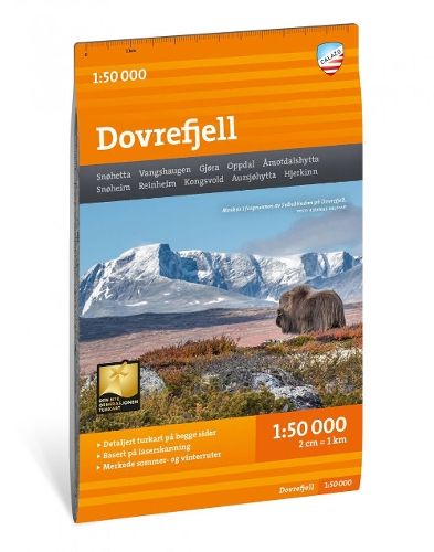
Dovrefjell 1:50.000
27,70 €
Varastossa
Vain %1 jäljellä
SKU
P-DOVR-510D9D

Dovrefjell-kartta esittelee Norjan luonnonläheisen ylänköalueen ja sen tunnettuja retkeilykohteita. Kuvaus kertoo kartan soveltuvan ympärivuotiseen käyttöön, ja siinä on merkitty sekä vaellusreittejä että talvireittejä ja hoidettuja latuja.
Kenelle: Retkeilijöille ja Dovrefjellin alueella liikkuville.
With map views on both the front and back, this map covers the entire wilderness-characterized high mountain area of Dovrefjell and classic hiking destinations such as Vangshaugen, Snoheim and the country's highest mountain outside Jotunheimen, Snohetta (2286 m).
This is part of the modern Calazo map series, which has a unique wealth of detail, as they are based on new data obtained from aerial laser scanning. The map covers all the most popular mountain areas, and has included both cabins run both by DNT and by other actors. It also shows marked hiking routes in the area, and is intended for year-round use with marked winter routes and groomed ski runs entered.
This is part of the modern Calazo map series, which has a unique wealth of detail, as they are based on new data obtained from aerial laser scanning. The map covers all the most popular mountain areas, and has included both cabins run both by DNT and by other actors. It also shows marked hiking routes in the area, and is intended for year-round use with marked winter routes and groomed ski runs entered.
* Kuvausteksti saattaa koskea teoksen toista versiota. Kuvauksessa mainitut yksityiskohdat, kuten mahdolliset oheistuotteet, eivät välttämättä ole osa valitsemaasi teosta. Valitsemasi teoksen tarkat tiedot löytyvät alla olevasta ominaisuusluettelosta.
| Tuoteryhmä | |
|---|---|
| Teoksen nimi | Dovrefjell 1:50.000 |
| SKU | P-DOVR-510D9D |