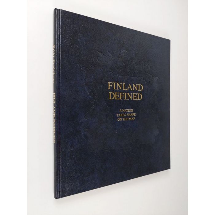
Erkki Fredrikson : Finland defined : a nation takes shape on the map
44,00 €
Varastossa
Vain %1 jäljellä
SKU
P-FINL-5186AE

Erkki Fredriksonin teos tarjoaa ainutlaatuisen katsauksen Suomen kartografian historiaan, esittelemällä yli sadan kartan avulla maan muotoutumisen keskiajalta nykypäivään.
FINLAND DEFINED: A NATION TAKES SHAPE ON THE MAP is the first work of its kind to present a history of the cartography of Finland from Middle Ages to the present day. The development of Sweden's eastern province into to Grand Duchy of Finland, then into an autonomous grand duchy forming part of the Russian Empire and finally into the independent Republic of Finland is traced in more than one hundred maps and the texts accompanying them. The maps, which are reproduced as colour photographs, mirror in many ways the national, governmental and political history of their eras, as well as reflecting developments in style. This is the first time that many of the maps depicting the Nordic countries and Finland have been published in this country.
Most of the maps appearing in the book are from the Fredrikson Map Collection, one of the largest private map collections in Finland.
Most of the maps appearing in the book are from the Fredrikson Map Collection, one of the largest private map collections in Finland.
* Kuvausteksti saattaa koskea teoksen toista versiota. Kuvauksessa mainitut yksityiskohdat, kuten mahdolliset oheistuotteet, eivät välttämättä ole osa valitsemaasi teosta. Valitsemasi teoksen tarkat tiedot löytyvät alla olevasta ominaisuusluettelosta.
| Tuoteryhmä | |
|---|---|
| Tekijä | Erkki Fredrikson |
| Teoksen nimi | Finland defined : a nation takes shape on the map |
| Alkuteos | Suomi 500 vuotta Euroopan kartalla |
| SKU | P-FINL-5186AE |
| Avainsanat | historia, Suomi-kuva, historialliset kartat, kartografia |