
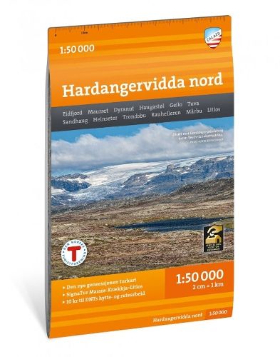
Hardangervidda nord ( 1:50 000 )
28,10 €
Varastossa
Vain %1 jäljellä
SKU
P-HARD-CD4B66

Hardangervidda nord on yksityiskohtainen kartta Norjan Hardangerviddan pohjoisosasta. Se auttaa hahmottamaan alueen vaellusreittejä, majoituspaikkoja ja talvireittejä.
Kenelle: Vaeltajille ja hiihtäjille, jotka suunnittelevat retkiä Hardangerviddan pohjoisosaan.
With map views on both the front and back, this map covers the northern part of Hardangervidda between the cabins Litlos and Marbu in the south and national highway 7 in the north. Classic destinations here are, among other things, Rauhelleren, Sandhaug and easily accessible trips to Voringsfossen and Halnekollen.
This is part of the modern map series from Calazo with a unique richness of detail based on new data obtained from laser scanning by aircraft. The map covers all the most popular mountain areas, marked hiking routes in the area, DNT cabins and private accommodation cabins. It works just as well in winter with marked winter routes and groomed ski slopes.
This is part of the modern map series from Calazo with a unique richness of detail based on new data obtained from laser scanning by aircraft. The map covers all the most popular mountain areas, marked hiking routes in the area, DNT cabins and private accommodation cabins. It works just as well in winter with marked winter routes and groomed ski slopes.
* Kuvausteksti saattaa koskea teoksen toista versiota. Kuvauksessa mainitut yksityiskohdat, kuten mahdolliset oheistuotteet, eivät välttämättä ole osa valitsemaasi teosta. Valitsemasi teoksen tarkat tiedot löytyvät alla olevasta ominaisuusluettelosta.
| Tuoteryhmä | |
|---|---|
| Teoksen nimi | Hardangervidda nord ( 1:50 000 ) |
| SKU | P-HARD-CD4B66 |