
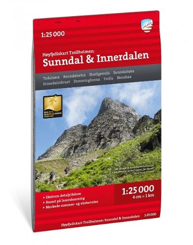
Trollheimen: Sunndal / Innerdalen - Hoyfjellskart ( 1:25 000 )
29,20 €
Varastossa
Vain %1 jäljellä
SKU
P-TROL-3581E3

Trollheimenin Sunndalin ja Innerdalenin kattava kartta tukee retkien suunnittelua Norjan korkeilla vuoristoalueilla. Se soveltuu sekä merkityillä poluilla kulkeville että omien reittien etsijöille.
Kenelle: Retkeilijöille ja vuoristossa omatoimisesti reittejä suunnitteleville.
This is one of two unique maps with a wealth of detail that has never before been shown over the area around Trollheimen The terrain information in the map is based on laser scanning from aircraft. Mountain slopes, waterways, glaciers and other natural elements are shown in much more detail with this technology. The map also contains more trails than any previous map of the same area.
A map on a scale of 1:25,000 is useful if you are planning a hike in Innerdalen or a summit trip to the classic Innerdalstarnet (1452 m), Dronningkrona (1816 m) or Store Trolla (1842 m). The map can also be used by those who wish to leave marked paths to explore their own routes in the high mountains.
A map on a scale of 1:25,000 is useful if you are planning a hike in Innerdalen or a summit trip to the classic Innerdalstarnet (1452 m), Dronningkrona (1816 m) or Store Trolla (1842 m). The map can also be used by those who wish to leave marked paths to explore their own routes in the high mountains.
* Kuvausteksti saattaa koskea teoksen toista versiota. Kuvauksessa mainitut yksityiskohdat, kuten mahdolliset oheistuotteet, eivät välttämättä ole osa valitsemaasi teosta. Valitsemasi teoksen tarkat tiedot löytyvät alla olevasta ominaisuusluettelosta.
| Tuoteryhmä | |
|---|---|
| Teoksen nimi | Trollheimen: Sunndal / Innerdalen - Hoyfjellskart ( 1:25 000 ) |
| SKU | P-TROL-3581E3 |